Nature Brings Me Flowers

You don’t bring me flowers;

You don’t sing me love songs; . . .

You don’t bring me flowers anymore. (Diamond/Bergman)

Wild flower season at Cedar Breaks National Monument

I love to get outside in Nature. I don’t know if there is anything I love better than a long hike in a beautiful place. Let me name a few: Crag Crest, O Be Joyful, Bear Creek, Hanging Lake, Angel’s Landing; the list is long.

On the day these photos were taken, it was Ramparts Overlook in Cedar Breaks. I love Nature because Nature loves me back. Nature is harsh, you will say. Nature is cruel. In fact, Nature can kill you. I will not deny it. But, think about it for a moment, Love – or rather what you did for love or what you would do for love- is sometimes harsh and Love is sometimes cruel, but Love is the solid bedrock of everything we hold dear as a society – and my love affair with Nature is a foundation that keeps me healthy physically as well as emotionally, mentally and spiritually.

Let me ask you, would you rather die outside in a beautiful place by the hand of Nature or in a heap of twisted metal in the city? What are the odds? I’ll stack the odds in favor of Nature. I’ll keep getting out there. Nature, rather than commerce and metro traffic, shall decide when it is my time to go.

Would you rather be in a sterile gray hospital room when they pull the plug and you breathe your last, or would you rather be struck by lightning on a green, rocky, stairway to heaven? I’ll choose lightning.

I was made from dust and to dust I shall return. Ashes to ashes, dust to dust. I’ll trust Nature. Nature loves me back. Nature brings me flowers.

IMG_1514treeandcanyon

IMG_1497flowerslite

There is a marmot in the tree

Too Hot To Hike

“It’s so beautiful,” They told me before I moved here. “Think of the lake and the red rocks!” Yes. The desert has its own kind of beauty even to one accustomed to pine trees and aspens. Undeniably such a large volume of water right in the midst of the desert is a thing of wonder. It is beautiful. But it is hot. So hot that a coveted morning hike turns into merely a walk that must be taken before 6:00 am. So rocky and barren I must drive an hour or two to find a shady canyon in which to stretch my legs on the weekend.

What do you do to pick yourself up when you are down? When you are blue, how do you make yourself feel better? If you are agitated, how do you calm yourself? How do you engage in self care – manage your mental and emotional health?

Making ourselves feel better is how we cope. What is your coping mechanism? Do you gravitate toward a crowd? Have a cigarette? Music? Sex? What makes you feel all better? How we cope can become an addition. Who doesn’t want to feel better all the time? I do. So when I feel myself ready to drop into that downward spiral, I walk. I run out the door and hit the trail. But it is hot. Too hot to hike.

Having once discovered the piñon-pine forests of Navajo National Monument (established 1909), I returned again to hike all the short trails and snap more photos. The most popular of the short trails will take you to an overlook from which you can see Betakin in the distance. A second trail descends down the side of an inverted mountain. Beginning at 7,000 feet, the inverted mountain goes down, down to where the canyon floor hosts similar flora to that normally found high up a mountainside – an aspen forest and conifer trees. It was cooler here and with a more regular source of moisture. It has to be to grow aspen trees. This type of canyon is situated such that parts of it never see the sun. So narrow one of the sides is always in the shade. The snow is slow to melt.

And suddenly, I knew the answer to the oft asked question as to why the Anasazi were cliff dwellers rather than living up top where it appears life would have been easier-less precipitous. And now, I understand why certain folks mourn the loss of Glen Canyon as was, and want to drain Lake Powell.

It is too hot to hike – except in lush, deep, narrow canyons.

Betakin at Navajo National Monument
Inverted mountain
Inverted mountain

A daily walk at 6:00 am

It was the perfect setting for an early morning walk. The sun perched, ready to rise behind the far distant lake and rocks. Shards of light illuminated the leftover clouds from a midnight storm. Blooms lingered on desert willows. On the pavement, I was passing through a section of exquisitely detailed high-end southwestern homes.

Twenty feet away from me a full-grown jackrabbit paused and posed, silhouetted in front of an iron arch complete with some sort of desert vine, ears upright and transparent in the sunrise like the hoodoos of Bryce Canyon during a 6:00 am entrance to Queens Garden. I looked and longed beyond the rabbit to the vanishing point far, far away in lake and rocks. And I had no camera. I have long ceased to carry it in my own neighborhood. What could possibly be different one day to the next?

Unexpectedly, a much-desired, long Saturday hike

I worked on Saturday. It was not my sixth day of work because I did have actual Fourth of July off.

I seized an opportunity to take our customer service specialist, Brandice, and make a Cannonville / Escalante delivery and introduce her around. For efficiency and beauty, we took Cottonwood Canyon Road full-well knowing we would probably need to return via the highway due to gathering clouds.

It rained while we were in Escalante. But when we returned through Cannonville, the skies, ground and roadways were dry and there was a sunny path of blue sky down Cottonwood Canyon. Knowing from experience it would put us home 40 minutes earlier, we took it.

To give some perspective, Google says it is 160 miles Page to Cannonville via the paved highway and 46 miles via Cottonwood Canyon – albeit slow going and winding dirt road.

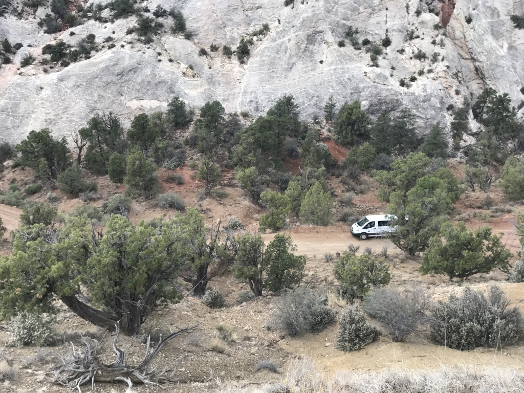
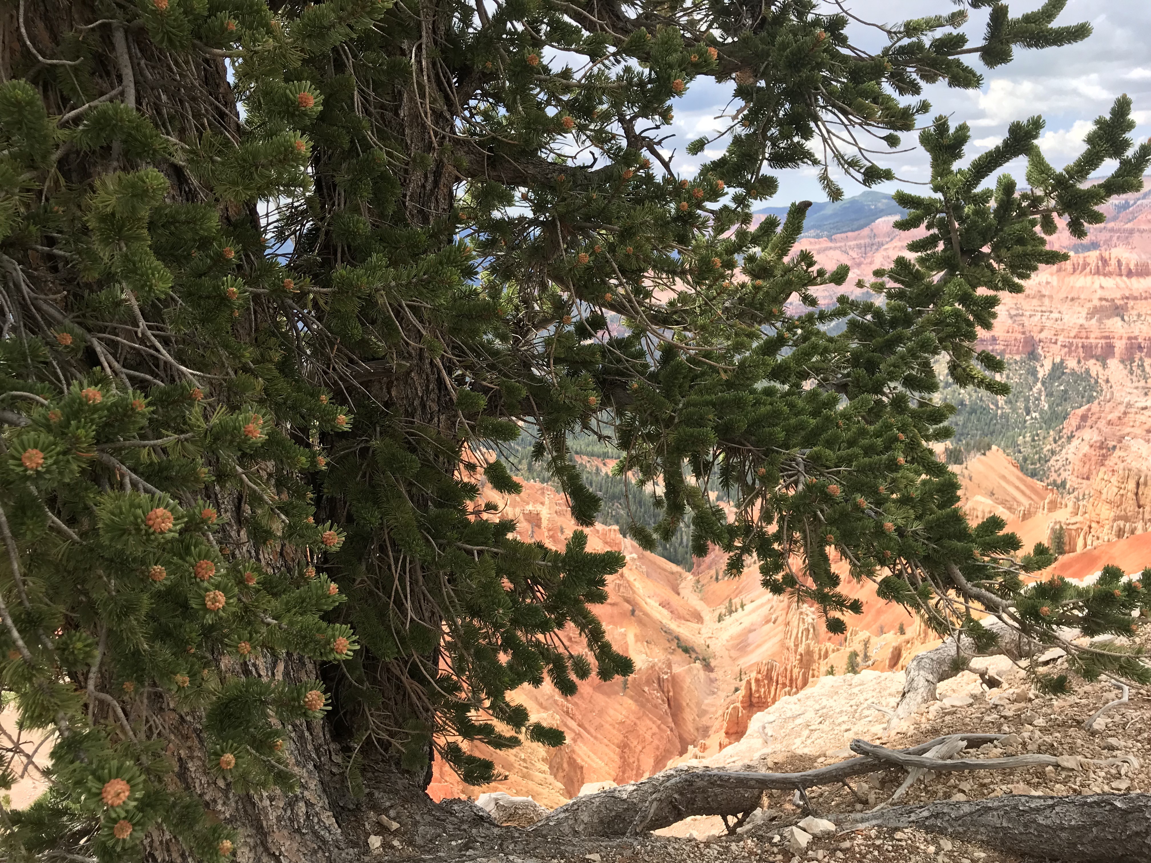
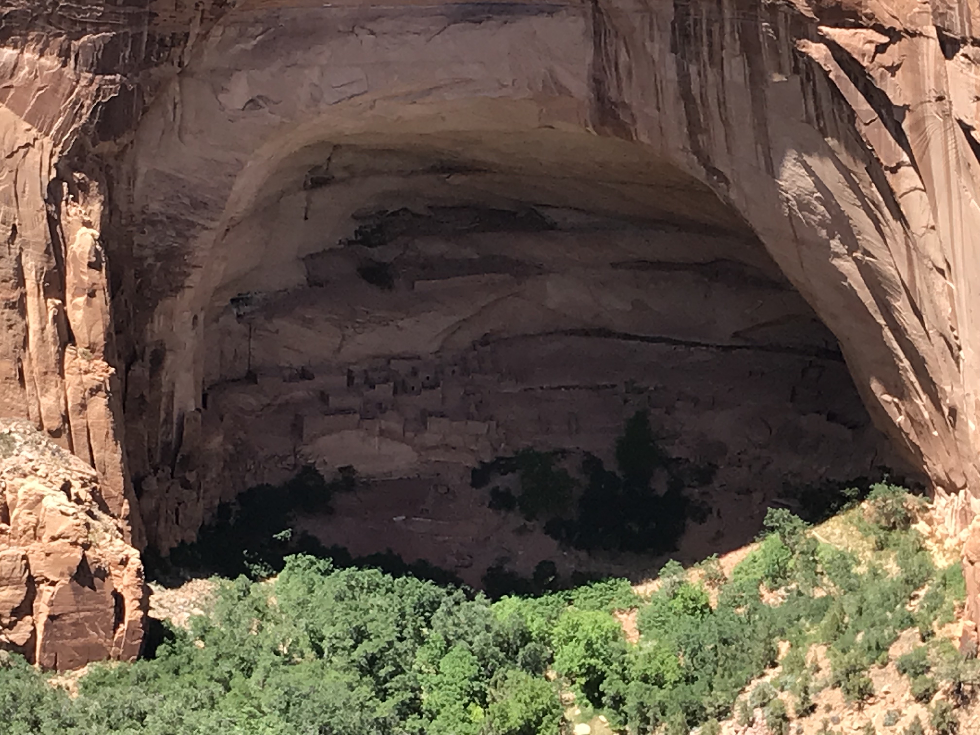
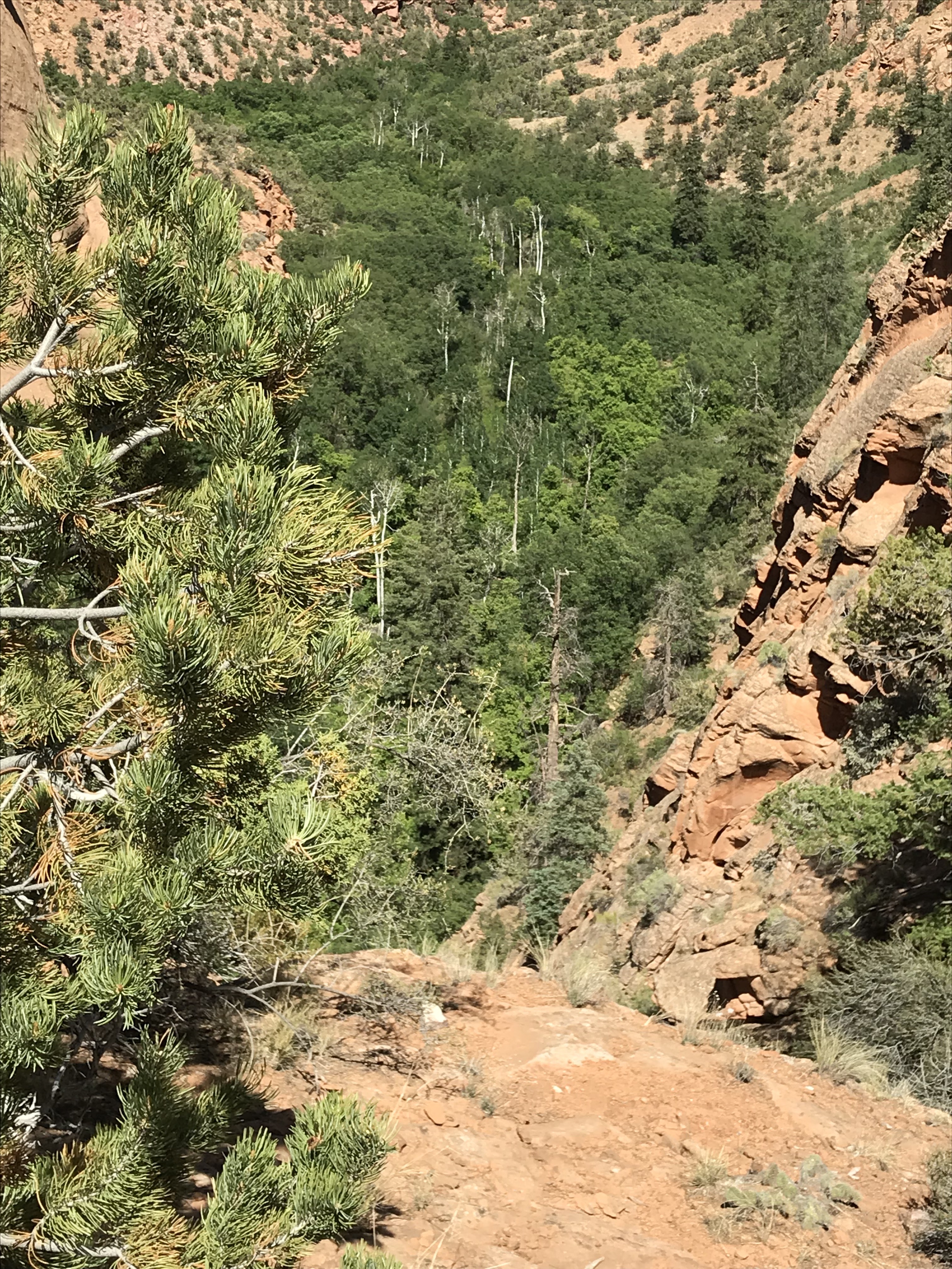
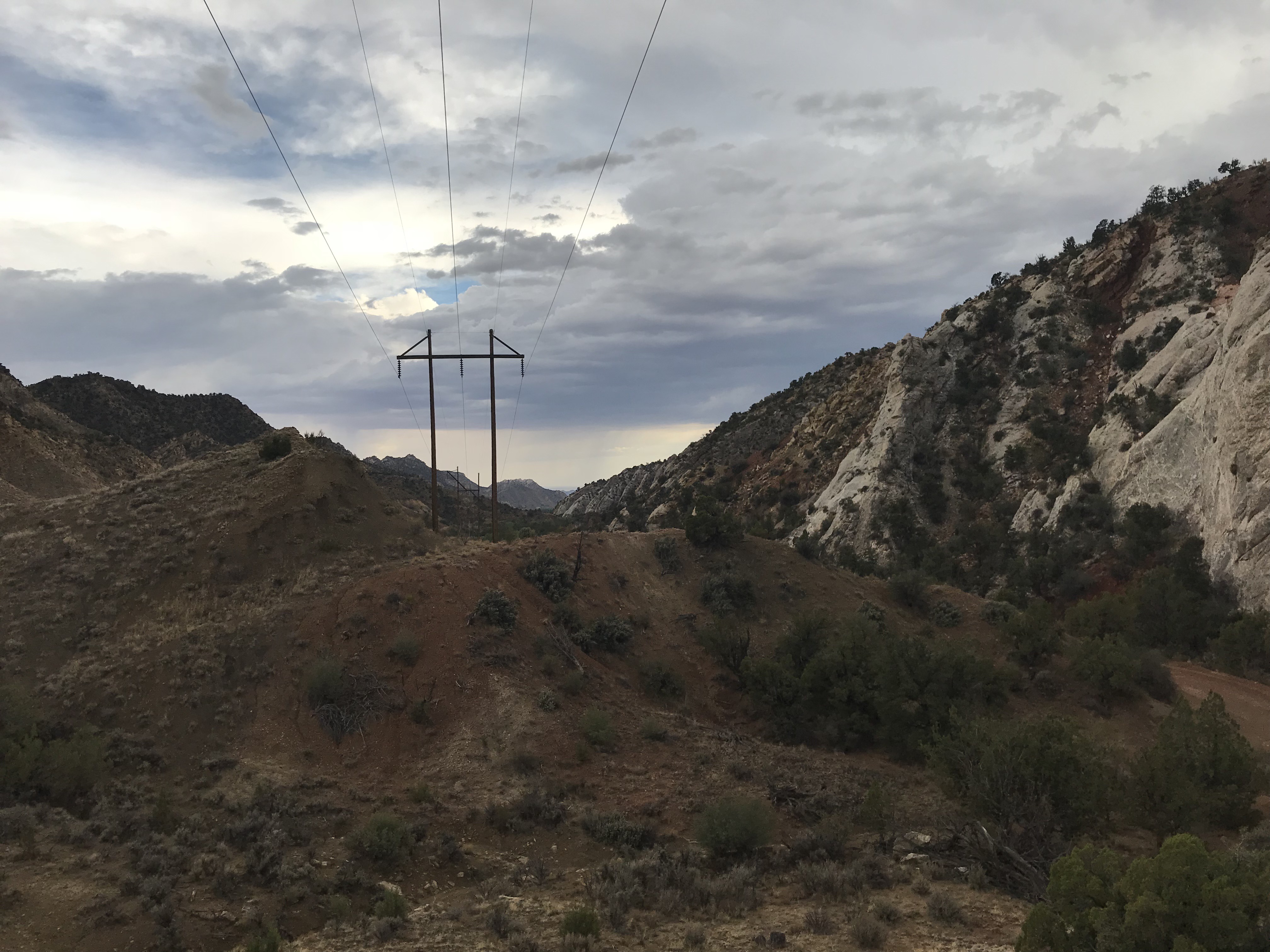
We exited the paved road south of Cannonville at Kodachrome State Park and proceeded 18 more miles to pass the turnoff for Grosvenor Arch. So far, so good. A couple raindrops hit the windshield. Bear in mind, we are already more than 20 miles in for a trip we believe is 46 slow miles – oh wait – now they tell me it is 56 miles – from Grosvenor to highway 89. Anyway, we went UP the washboardy hills and UP more washboardy hills and then descended into an area nick-named “Candyland” because of the colorful rock formations. It was beautiful. But then, the descent down the slightly rained on slope was slick. Moreover, it stuck to the new tires like clay, making them perform like bald tires. We slid sideways in the 15 – passenger van. There was a slight but muddy ravine on our right. Enough! We knew we would have to stop and wait this out. Typically the road dries out fast – by the next day. It was six pm. We were expected home.

When it stopped raining, I climbed to the top of the nearest steep and muddy hill until I got one bar of cell service. I texted the boss. No immediate answer. I called the boss. He picked up on the fourth ring. Can you back up north? He asked. No. The dark rain clouds had now cut us off behind.

I’d love to say I’ll be there in 90 minutes, he said, but I am at Antelope Point (ten miles the other side of town) and I’ll have to go by home and get my rescue equipment.

Can you call Brandice’s husband and let him know? I asked. Affirmative. Text me the phone number.

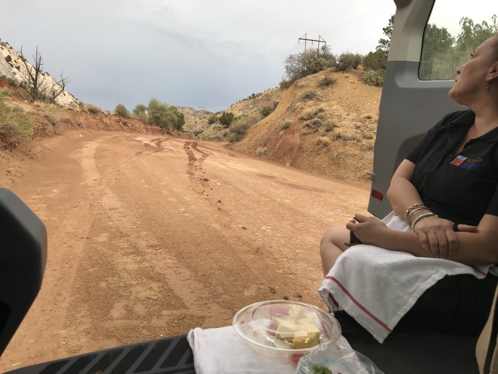
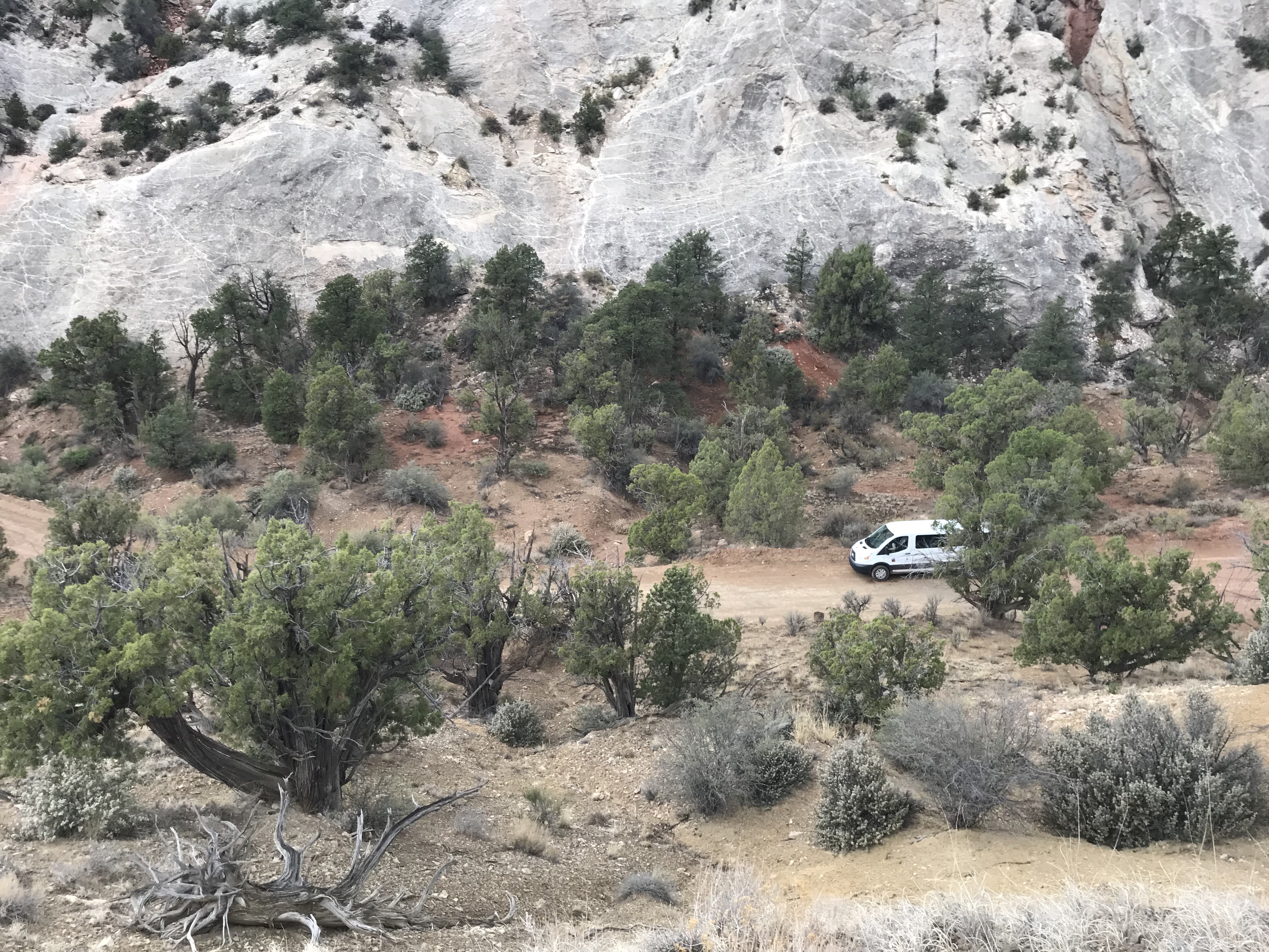
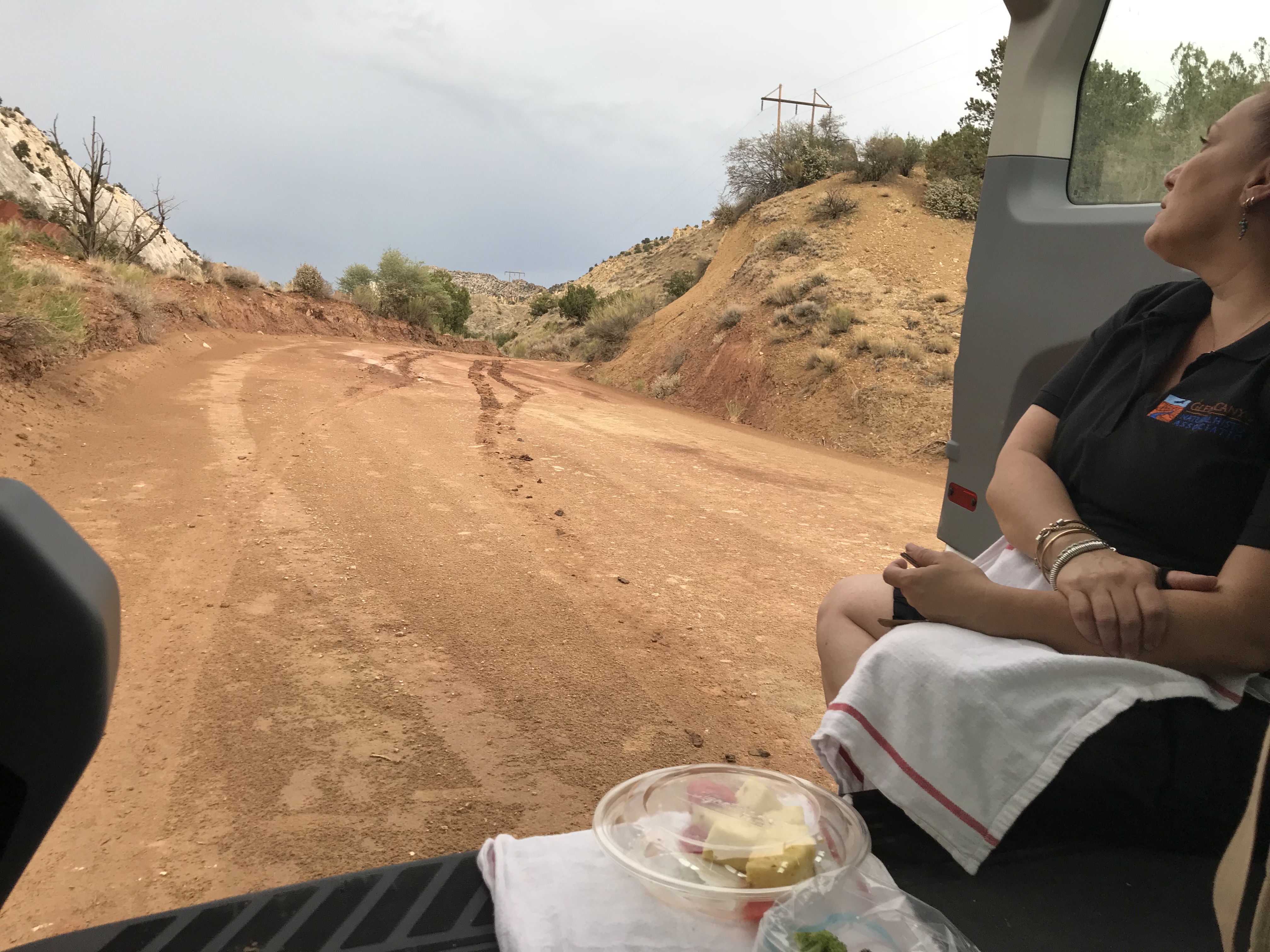
Brandice shouted me the number from the distant van. I slid back down the hill and we enjoyed a nice tailgate repast of veggies, fruit and guac. I hiked back up the hill to see if there were further messages. Nada. But, the road looked pretty good from that vantage point. While I was hiking, Brandice had been busy peeling mud from the tires with a sharp rock. We began inching our way down the road in 200-yard segments. Here is how it worked:

I ran ahead to reconnoiter and then signal Brandice forward to a specific place. As she drew near, I ran ahead once more to see if all was safe around the corner. In this way, we avoided sinkholes and slippery narrow slopes. Sometimes we waited 15 or 20 minutes for the road to dry out.

Meanwhile, the boss texted his location. He was now on the dirt road. His pathway was dry. For several miles. Then he hit the muddy, fish-tailing mid-section.

By the time the Martins came over the hill we had made a few miles progress in the van. Yes. Martin plural. When the boss Martin met us, who should pop out his passenger door but Martin the husband of Brandice? Two shovels and a garden hoe made quick work of clay removal from the tires.

Being the grown-up boy scout, WFR and general all around MacGyver that he is, the boss leap-frogged van and Trooper through the sketchy places while I picked up slack on the passable. We made it home by 10:00 pm.

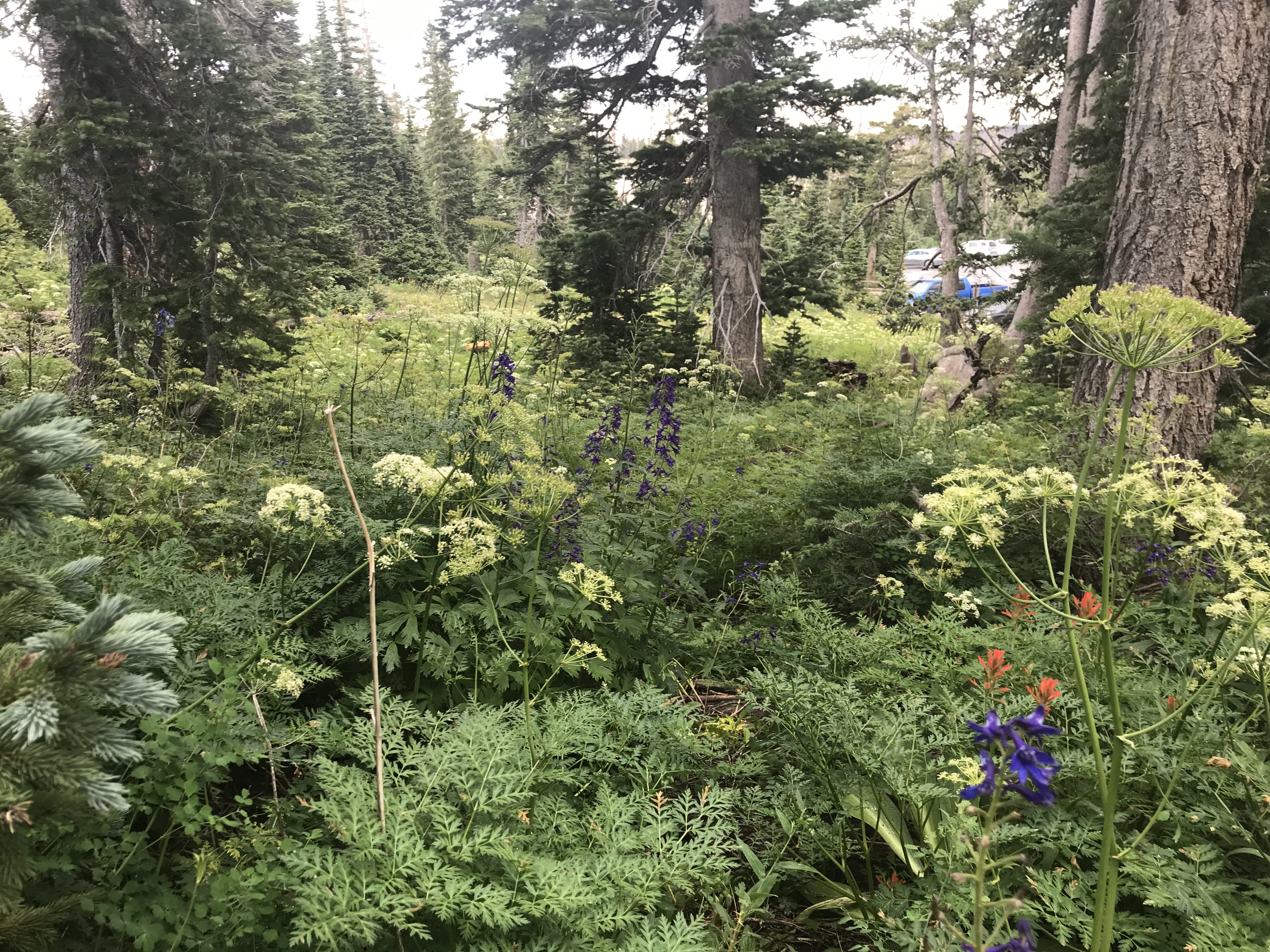
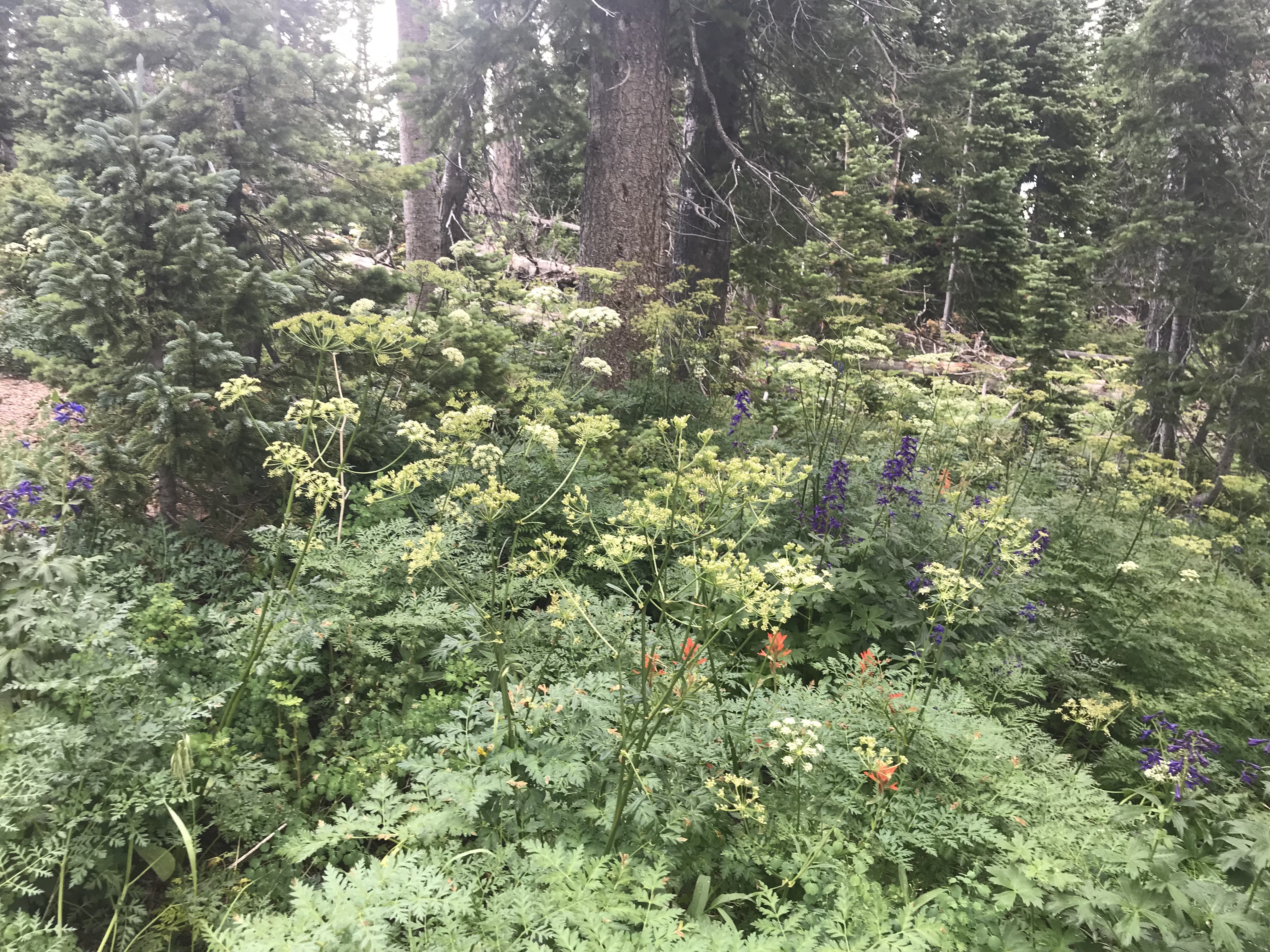
Aside from the embarrassment of having to call for help, I had a fabulous adventure in a beautiful place. You see, the clouds and rain made it a glorious temperature for hiking – up the hill for a cell signal and up and down the road for blazing a trail – in one of the most beautiful places of this region.

Unexpectedly, I got my much-desired, long Saturday hike.

But, still and all, I have a new rule for myself: No dirt road driving when there is rain anywhere in the state. – – Until we get knobbier tires on the van.

IMG_1482

IMG_1480

IMG_1481